|
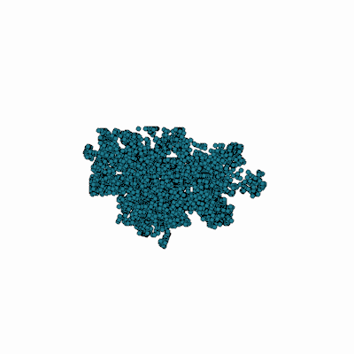
Width: 400 Height: 400 Extent:
YMin: 1839131.3951116467 XMax: 6380128.623073737 YMax: 1907097.3715439013 Spatial Reference: 0 (0) LatestVCSWkid(0) Scale: 195742.01212489308 |
| ArcGIS REST Services Directory | Login | Get Token |
| Home > services > Fire > Hydrants (MapServer) > export | Help | API Reference |

|
Width: 400 Height: 400 Extent:
YMin: 1839131.3951116467 XMax: 6380128.623073737 YMax: 1907097.3715439013 Spatial Reference: 0 (0) LatestVCSWkid(0) Scale: 195742.01212489308 |