|
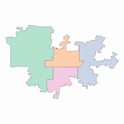
Width: 400 Height: 400 Extent:
YMin: 1851842.32600787 XMax: 6365009.4076360185 YMax: 1890813.2916681496 Spatial Reference: 102646 (2230) LatestVCSWkid(0) Scale: 112236.38110160531 |
| ArcGIS REST Services Directory | Login | Get Token |
| Home > services > Planning > CouncilDistricts (MapServer) > export | Help | API Reference |

|
Width: 400 Height: 400 Extent:
YMin: 1851842.32600787 XMax: 6365009.4076360185 YMax: 1890813.2916681496 Spatial Reference: 102646 (2230) LatestVCSWkid(0) Scale: 112236.38110160531 |