|
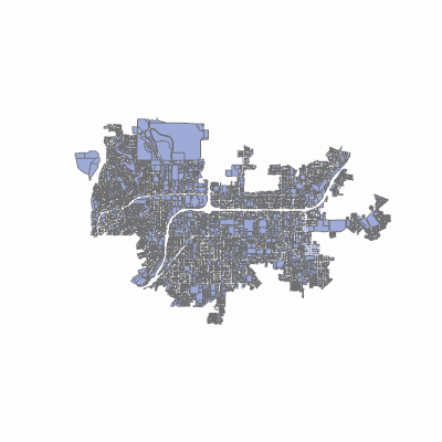
Width: 400 Height: 400 Extent:
YMin: 1846701.5516717932 XMax: 6368969.647169769 YMax: 1896175.5100051272 Spatial Reference: 102646 (2230) LatestVCSWkid(0) Scale: 142485.00000000178 |
| ArcGIS REST Services Directory | Login | Get Token |
| Home > services > Sewer > SewerBilling (MapServer) > export | Help | API Reference |

|
Width: 400 Height: 400 Extent:
YMin: 1846701.5516717932 XMax: 6368969.647169769 YMax: 1896175.5100051272 Spatial Reference: 102646 (2230) LatestVCSWkid(0) Scale: 142485.00000000178 |